Favorite Trips and Climbs
North Ridge of Mt Conness 2018
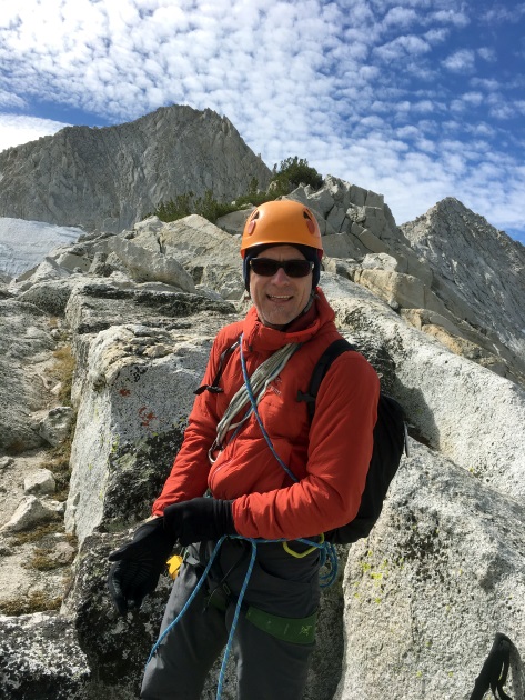
On September 29, 2018, I climbed the North Ridge on Mount Conness with my friend Eric.
I enjoyed this route so much when I first did it a few years ago, that I knew I wanted to make it back for a repeat. While the scale of the route is massive, it is technically moderate, and since I had done it before and knew what to expect, this time it was even more casual, and I could really relax into it and just flow. For Eric, who does not climb regularly, I imagine things were a bit more intense! But with plenty of back country experience, Eric did great.
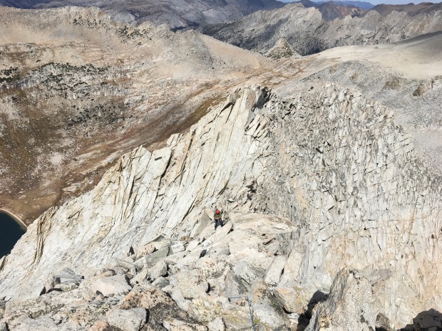
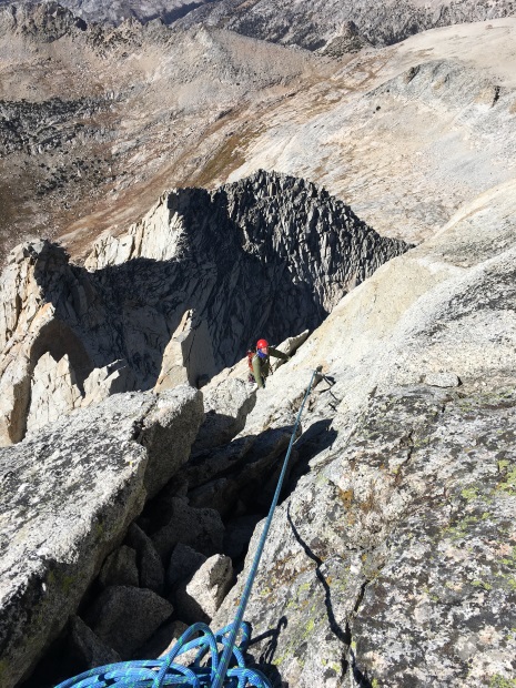
The entire route to the summit. We roped up and simul-climbed from the first to the second tower. Then, after the two short rappels onto the west face, we belayed to the summit, though I had brought a very light rack and was comfortable running it out. We both climbed the entire route in approach shoes.
Three years ago on very nearly the same day of the year, there were patches of snow and ice on the route. This time it was dry.
At the very start of the ridge, we passed a party of three that lost their nerve and bailed out. Later, another party caught up to us at the rappel from the second tower.
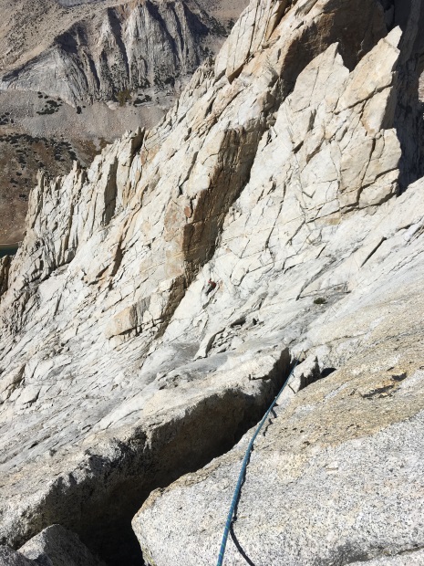
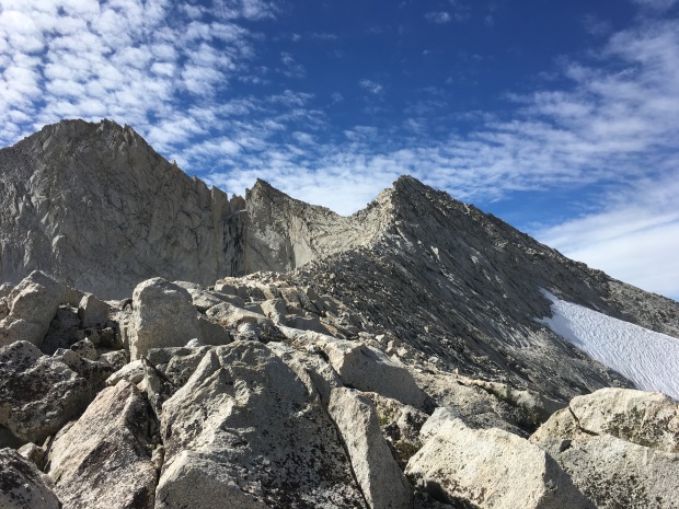
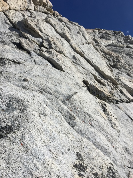
Higher on the route.
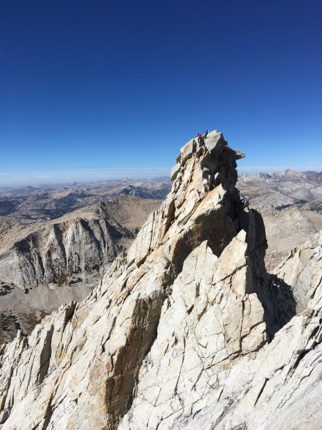
Looking up our route toward the summit.
Eric on the edge. At this point, you can look over and all the way down the sheer 2600-foot vertical east face to the glacier.
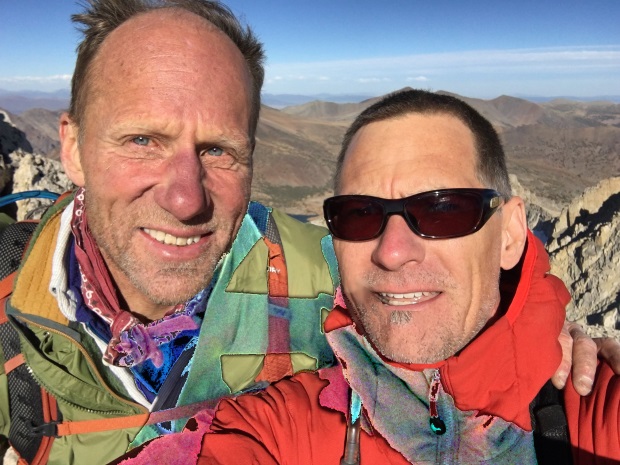
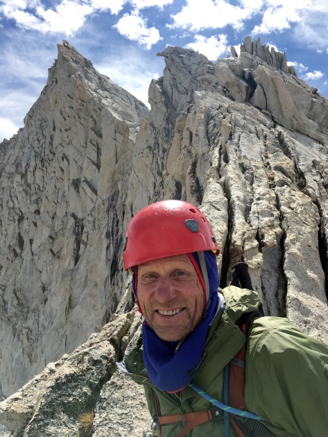
On the summit. Timings were about the same as last time, with a round trip from the trailhead of around 11 hours. (The photo looks a little strange because I tried to remove a selfie phone shadow.)
Important considerations to avoid some suffering on the hike back out: From the summit, follow the narrow ridge southeast down to the plateau. Cross along the north edge of the plateau to descend from the east edge of the plateau near N 37.96557 W 119.31467 (look for a cairn) and follow one of many faint trails down. After that, to avoid slabs, do not stay high on the ridge to the north, but go down southeast toward Alpine Lake as soon as safe/possible. Once down nearly level with Alpine lake continue north of the small hill northeast of the lake. Go southeast down a faint trail near N 37.96544 W 119.30147. Follow a faint trail and unobvious cairns to a drop south down an obscure chute (hopefully dry) near N 37.96394 W 119.29638. Link up with the main trail heading east down the valley around N 37.96041 W 119.28986. If you started from the trailhead, after a few miles on the trail, around N 37.95976 W 119.27509, cross the river and do not continue southeast on the trail toward Sawmill Camp. Instead go northeast uphill (no trail) toward the road and trailhead around N 37.96382 W 119.27250, finishing with a last little bit of suffering when you are at your most tired! :)